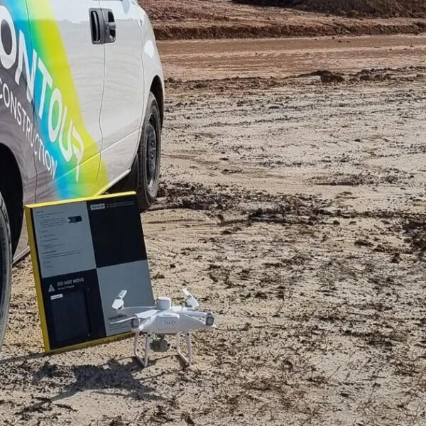
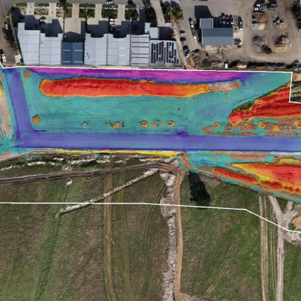
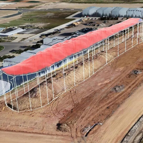
This project involved Contour Geoconstruction to accurately map civil works being conducted on site using the latest state of the art drones (UAVs) to capture the site in full 3D.
Contour Geoconstructions capabilities and technology enabled us to produce high-resolution images of the site, as well as providing their client with full 3D reports of stockpiled soil/material and earthworks progress.
This showed the client exactly what was in front of them on site and allowed them to plan and execute their project in the most efficient way possible.


