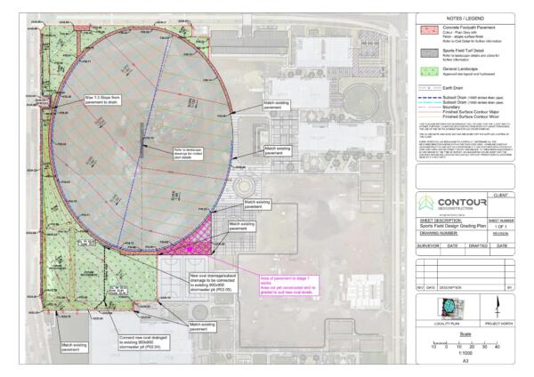
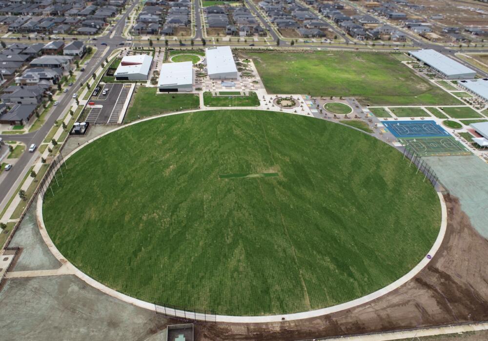
Contour Geoconstruction was engaged to utilise existing site levels and excess soil/material on site to re design a sports field in Truganina.
This process involved
- Accurate drone and field survey works to capture levels and material quantities on site
- Re design of the levels and contours for a proposed sports field
- Drafted set of drawings to be used for the construction of the oval
- Design models for relevant contractors on site to be used for intelligent machine control equipment and guidance.
- As built survey of the oval post construction to ensure levels and surface grading meets requirements.
A smoothly run and well executed project by everyone involved.

3D Drone data pre construction

Drafted design plans for construction

3D Drone data post construction

