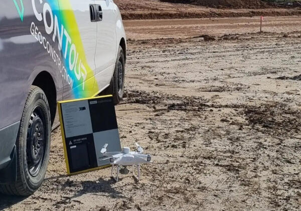
Aerial mapping services Geelong
With our aerial mapping services in Geelong using drones or unmanned aerial vehicles (UAV), we are able to produce high-resolution imagery of your site, as well as full 3D reports. These reports include stockpile calculations, earthworks tracking and monitoring, finished surface topography, and complete land surveys.

